EnglishPaperback
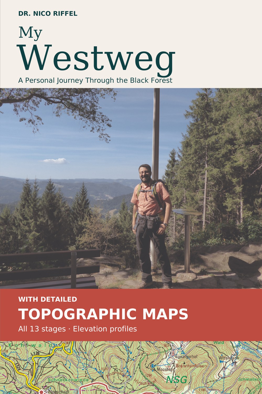
My Westweg
176 pages · Colour edition
A personal journey through the Black Forest. Thirteen stages, practical advice, topographic maps and elevation profiles.
Coming soon on Amazon
Read a sample...Nico Riffel wandert
My Westweg · The English edition
Enjoying the blog and want to read more? Or would you rather turn the pages of a book than scroll through a website? My Westweg brings the journey together in an English edition.
Across 176 pages, I take you from the first plans to the final day on the trail: preparing for the walk, all thirteen stages and the lessons I learned along the way. With original photographs, detailed topographic maps and elevation profiles.
Turn the page. Picture the trail. Start walking.
From the first plans to the first blisters
I had bought the equipment and put in the training walks. The Westweg still had a few surprises in store: tired legs at the start, and a wish to keep walking by the end.
In the book, I share my journey with a daypack on my back and a hotel bed waiting each evening. There are views to enjoy, people met along the way and things I would do differently next time.
If you are thinking of setting off yourself, there are practical questions, too. What should go in the rucksack? How do you prepare? And what could safely have stayed at home?
New in the revised edition
Maps were the main request from readers of the first German edition. This edition includes topographic map extracts for all thirteen stages, showing paths, towns, terrain and the marked route.
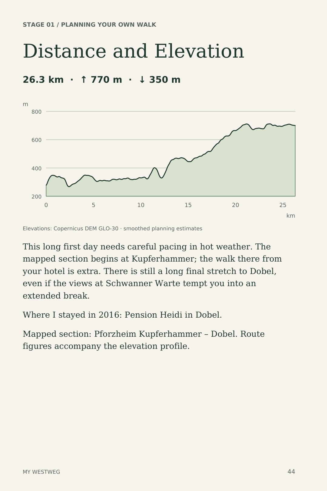
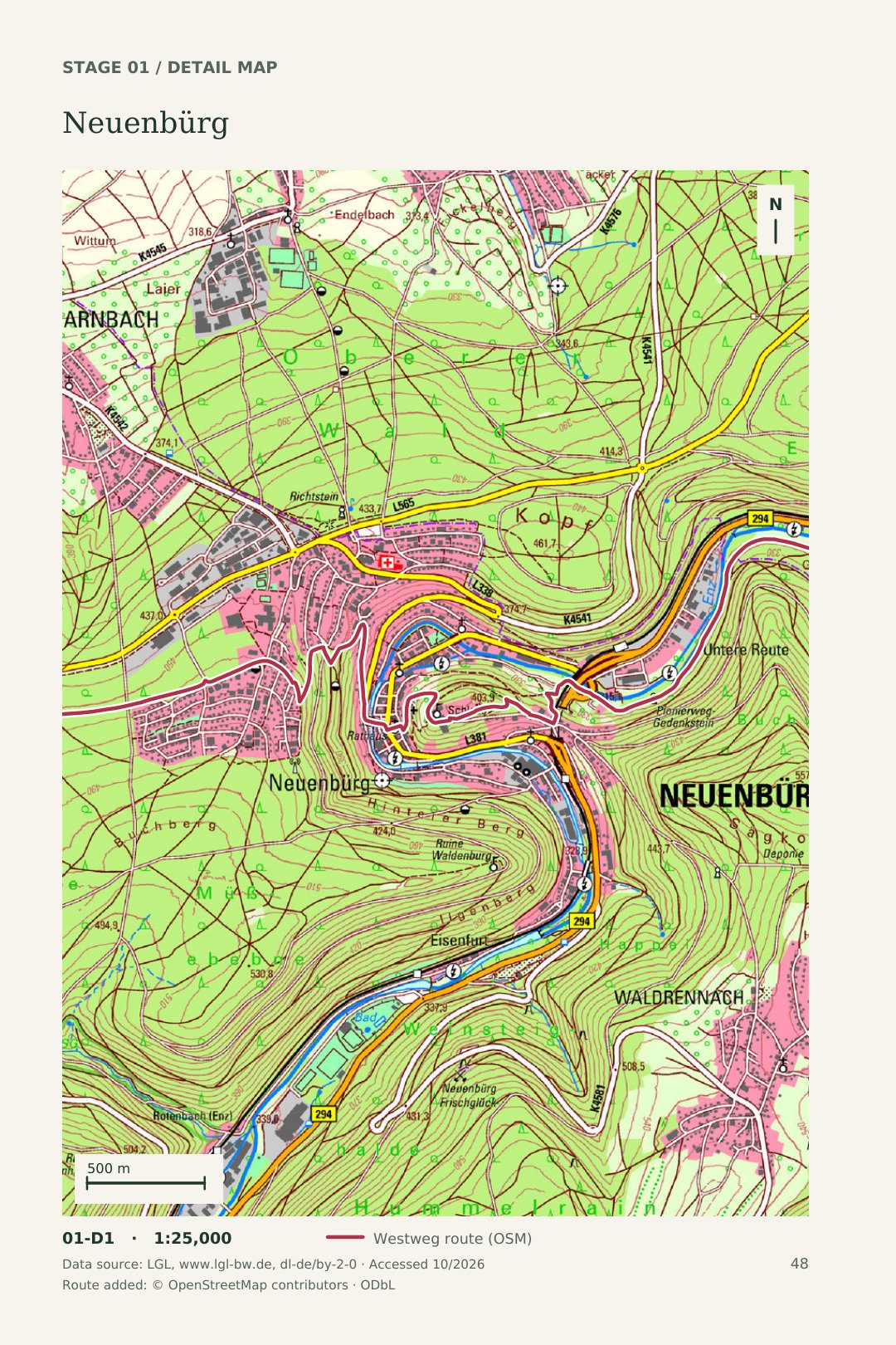
Original book pages · click to enlarge
Try a few pages
Browse selected original pages: a taste of the first stage, maps and practical advice, all in the layout of the English paperback.
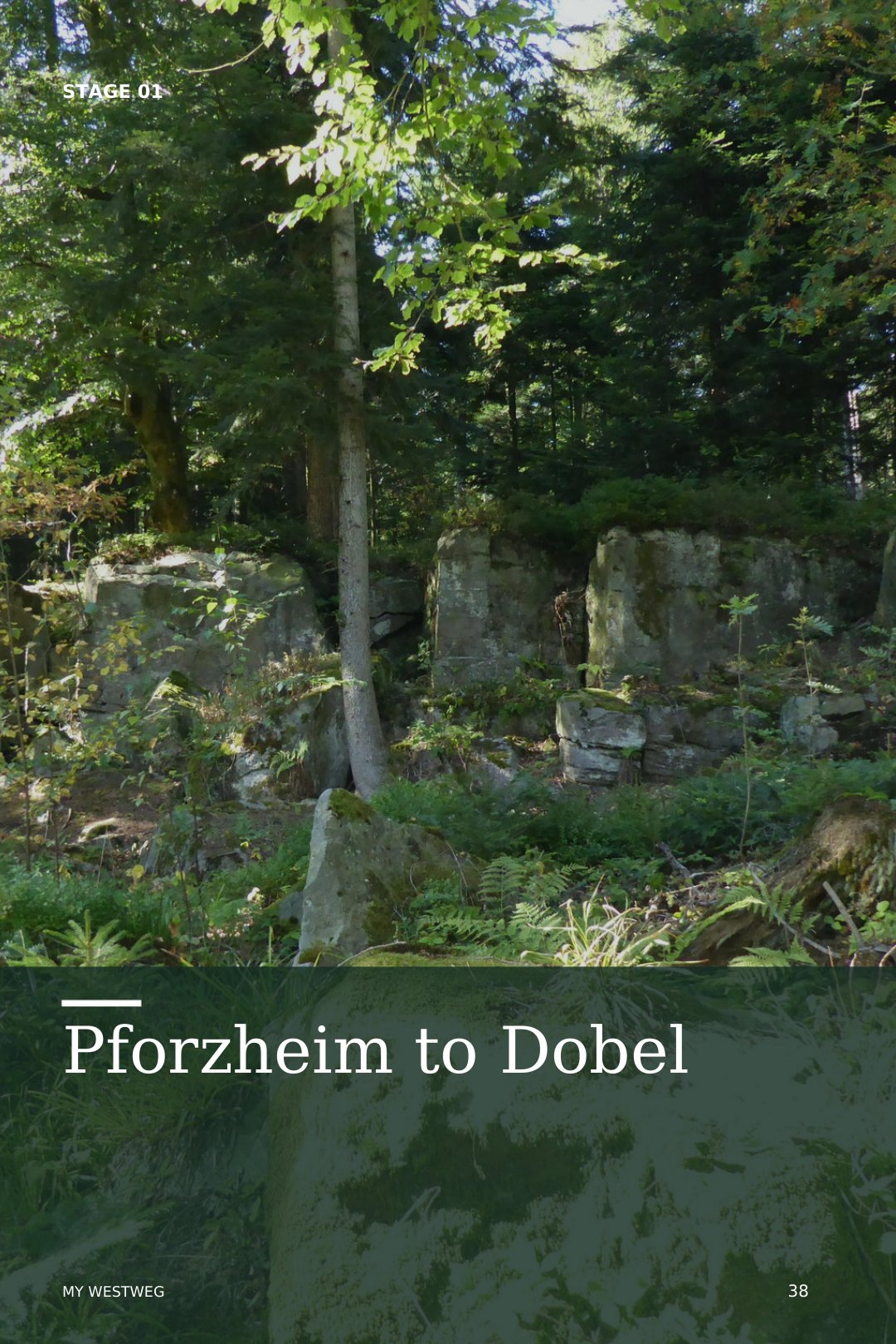
A taste of life on the trail.
The route, the towns and the terrain.
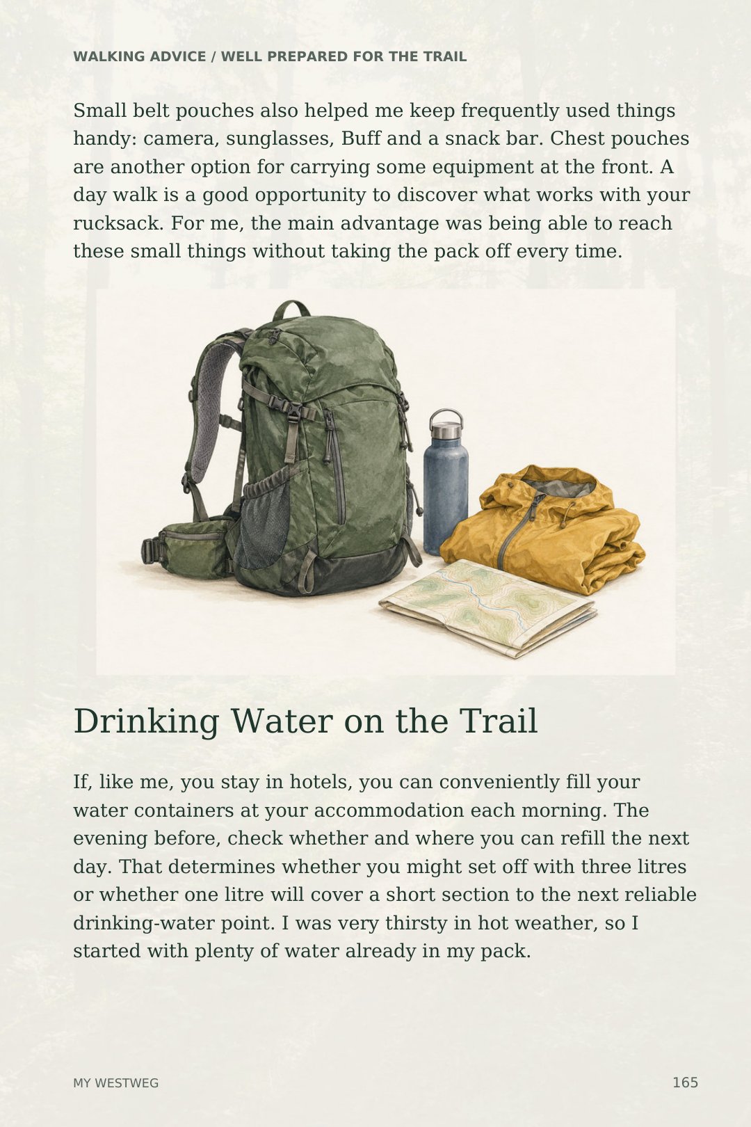
Equipment and lessons learned.
The sample shows the paperback layout. Kindle text and pagination adapt to your device and reading settings.
On paper or on screen
176 pages · Colour edition
A personal journey through the Black Forest. Thirteen stages, practical advice, topographic maps and elevation profiles.
Coming soon on Amazon
Read a sampleIn preparation My Westweg · Kindle · English